Absence of data-driven mechanisms in tracking down evacuation centers for improvement to support the decreasing number of victims due to the impacts of disastrous natural calamities.
Registration: 24 Sep 2022 to 31 Oct 2022Submission: 25 Oct 2022 to 31 Oct 2022
Participanting Teams: 0
Submissions: 0
LGU: Cauayan City
Themes: Regional OrganizationsBusiness and Civil SocietyClimate ChangeSustainable InfrastructureFood and SecurityEducation and Occupational Immobility
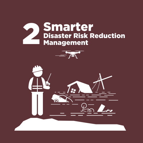
Categories: Smarter Disaster Risk Reduction Management
Login to join challenge
According to the Philippine Atmospheric, Geophysical and Astronomical Services Administration (PAG-ASA), the Philippines is situated along the typhoon belt in the Pacific and is experiencing more Tropical Cyclones (TCs) entering the Philippine Area of Responsibility (PAR) than anywhere else in the world. With an average of 20 TCs entering each year, the Philippines is greatly affected especially at its peak between July through October.
The Province of Isabela is no exemption from the strong waves of the typhoon which evidently exhibited disastrous effects in many communities. In this time of uncertainty, a safe place is an option for people to save their lives and be resilient moving forward. Thus, a challenge in alerting people to where to go and what should they do whenever strong storms and typhoons enter the region.
Through the Open Data Challenge, the City of Cauayan works with DOST and DAP to encourage locals, experts, researchers, and active organizations to take part in transforming existing data sets into clean and reliable data that would support innovations and interventions in disaster risk reduction management.
There are no participating teams yet.